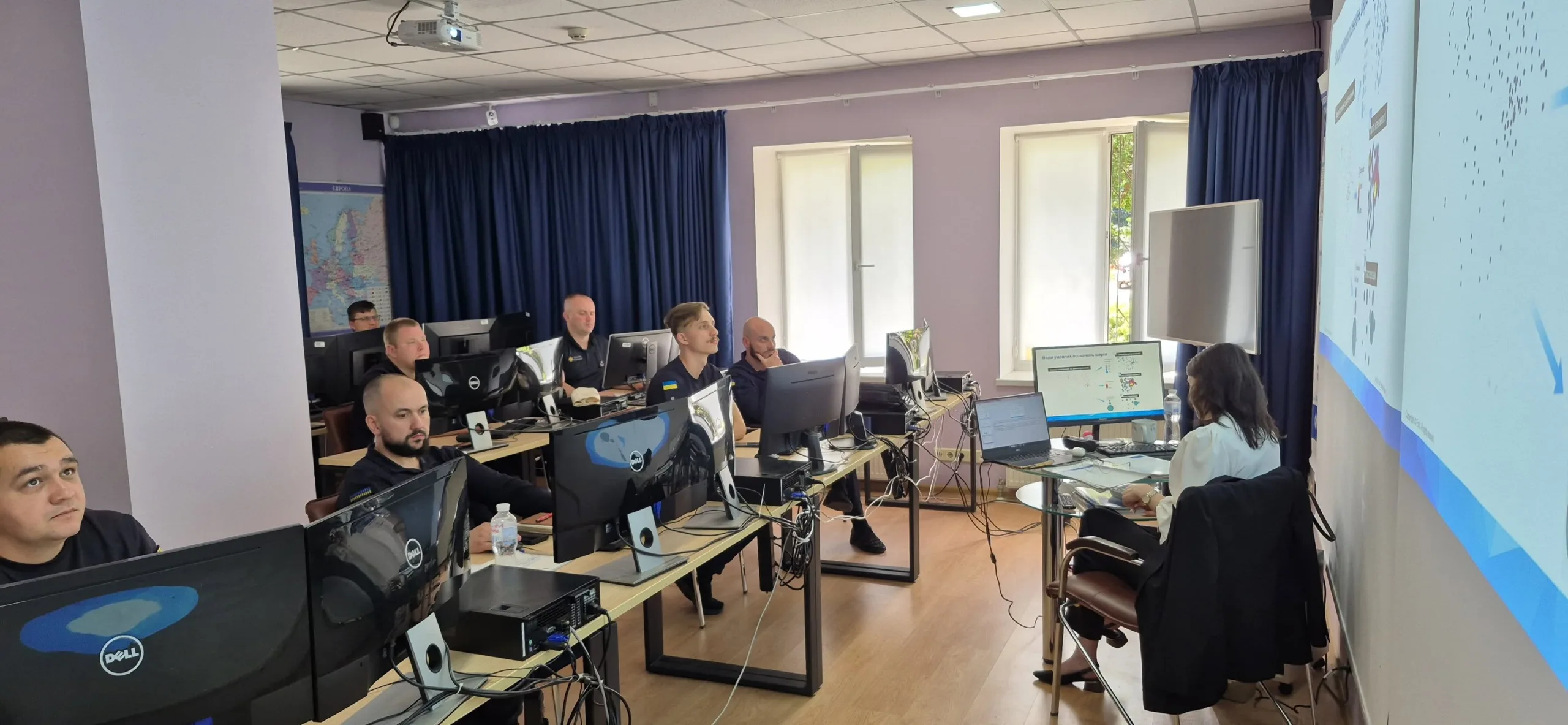
With support from the governments of Spain, Norway and Croatia, UNDP Ukraine has trained the first 170 Ukrainian specialists in ArcGIS Pro, a modern software for geographic information systems (GIS) that is critical for humanitarian demining.
ArcGIS Pro, developed by Esri, allows users to analyse spatial data, build detailed maps and 3D models, and manage complex databases. In the context of humanitarian demining, these tools help identify risk areas, plan operations and return land to safe use more quickly.
Read also: Number of demining operators in Ukraine exceeds one hundred
“Students come with varying levels of experience. Some have already worked with the platform, while others are familiarising themselves with the toolbar for the first time. The interface is intuitive, but there are nuances that we teach,” says course instructor Angelina Smiychuk.
The specialised ArcGIS Pro Essential Workflow course started in August 2024 for representatives of Ukrainian government agencies and ministries involved in mine action. It is part of UNDP’s strategy to strengthen the capacity of government agencies in the field of information management, making demining faster, more efficient and safer.
Graduates of the course are now able to create and edit geospatial datasets, analyse map layers, build mobile forms for collecting information in Survey123, and apply 2D and 3D modelling to visualise risk areas.
Read also: Humanitarian demining almost doubles in Ukraine


